GPS & BHCnav
If you work in the field of architecture or road and project engineering, the GPS device and system are among the most important devices you use.
You may want to buy it for your engineering company, but the confusion lies in where to buy it, so we offer it to you and save you the trouble of searching, as it makes it easy for you to determine the work locations for engineers.
We offer a wide range of these devices, relying on high-quality global brands like Nikon.
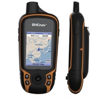
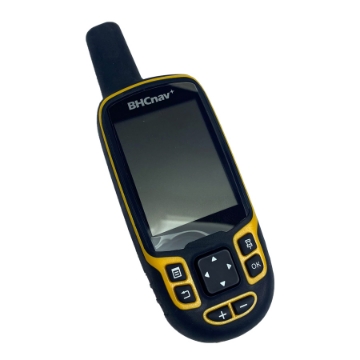
GPS with Battery and Charger - BHCNav F30
GPS from BHCNav model F30, works with 65 channels 3m: 6m (GPS & GLONSS), 3m: 1m (Gagan Gps With Wass , Egons , Msas) can reach less than 1 meter in open spaces, large screen 2.2 inches wide, waterproof and dustproof, 4 GB internal storage, equipped with an external memory space that can hold up to 32 GB, works with 2 AA batteries, equipped with a thermometer to calculate heights above sea level, equipped with a high-sensitivity antenna, loaded with a world map, and can be equipped with new maps, ideal for many applications such as agriculture, mining and surveying.
11٬500٫00 ج.م.
NAVA Pro F78 GPS
The NAVA Pro F78 GPS is a full featured handheld GPS and GLONASS receiver for a wide range of applications such as agriculture, forest, surveying, mining, and several other outdoor works. It has a preloaded world-wide basemap and also supports Vector (City detail map), DEM map, and Raster map (open street map and google map etc.) and therefore can quickly and precisely detect your location. NAVA Pro F78 allows you to share your waypoints, tracks, routes in multiple GPS data formats, including GPX, SHP, MIF, CSV, KML, DXF, and TXT via NAVA GPS Office software.
22٬000٫00 ج.م.
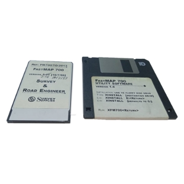
FIRST MAP PROGRAM
23٬777٫50 ج.م.
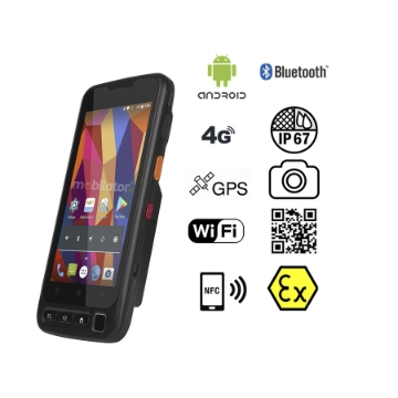
Rugged Mobile V710
12٬500٫00 ج.م.
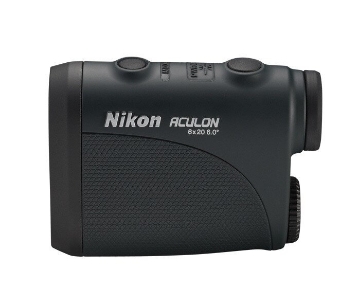
Nikon Laser Rangefinder ACULON 6*20
50٬000٫00 ج.م.
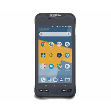
Spectra Mobile Mapper 60
Spectra Mobile Mapper 60 is an ideal location device in terms of quality, efficiency, and reliability. It also features many advanced features and technologies that make it an essential surveying tool suitable for all scientific and professional tasks.
Call for pricing
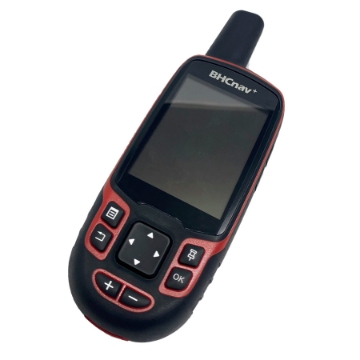
GPS BHC NAV F70
The BHC NAV F70 GPS device is one of the best devices used to determine locations in surveying work with extreme accuracy. It can also be relied upon for communication as well. It conforms to standard specifications and is made of high-quality materials that can withstand heavy work.
18٬600٫00 ج.م.
جهاز GPS للمساحة وقياس الأراضي Runione RDC20 عالي الدقة
احصل على أدق النتائج في قياس مساحات الأراضي والعمل الميداني مع جهاز Runione RDC20. جهاز محمول يدعم تحديد المواقع (GNSS) بدقة عالية، ويتميز بإمكانية تصدير البيانات بصيغة Excel و CAD، مع تصميم قوي مقاوم للعوامل الجوية وبطارية تدوم طويلاً.
Call for pricing

